|
|
Help |
| Home - Basic C - California Maps Geography (Books) | |
e99 Online Shopping Mall
|
|
Help |
| Home - Basic C - California Maps Geography (Books) | |
| 1-20 of 92 | Next 20 |
click price to see details click image to enlarge click link to go to the store
| 1. California Geography: Maps, Lessons, & Questions by Randy L. Womack | |
| Paperback:
Pages
(1990)
Asin: B001LGBC3Q Canada | United Kingdom | Germany | France | Japan | |
| 2. Geography of California: Outline and maps by Wayne Harmon | |
| Spiral-bound: 63
Pages
(1976)
Asin: B0006YGQJE Canada | United Kingdom | Germany | France | Japan | |
| 3. A System of Geography for the Use of Schools. by Sidney E. GEOGRAPHY WITH MAPS - CALIFORNIA GOLDRUSH) Morse | |
| Hardcover:
Pages
(1853)
Asin: B00455XT1I Canada | United Kingdom | Germany | France | Japan | |
| 4. California geography: Maps, lessons & questions by Randy L Womack | |
| Paperback: 71
Pages
(1991)
Asin: B0006R5BDS Canada | United Kingdom | Germany | France | Japan | |
| 5. Visual geography of California: Showing by maps and charts the history, products, general points and features of interest : also United States comparisons ... - foreign commerce (California state series) by Hebert Edward Floercky | |
| Unknown Binding: 85
Pages
(1993)
Asin: B0000D6AMX Canada | United Kingdom | Germany | France | Japan | |
| 6. Visual Geography of California: Showing By Maps and Charts the History, Products by Herbert Edward Floercky | |
| Hardcover:
Pages
(1933-01-01)
Asin: B002K50KC6 Canada | United Kingdom | Germany | France | Japan | |
| 7. Dry climates of the United States: I. Climatic map (University of California publications in geography) by Richard Joel Russell | |
| Unknown Binding: 41
Pages
(1968)
Asin: B0007F0SFU Canada | United Kingdom | Germany | France | Japan | |
| 8. Geology of California/Book and Geologic Map of California by Robert M. Norris, Robert W. Webb | |
| Hardcover: 560
Pages
(1990-01)
list price: US$75.30 -- used & new: US$66.66 (price subject to change: see help) Asin: 0471509809 Canada | United Kingdom | Germany | France | Japan | |
|
Editorial Review Product Description | |
| 9. Patterns on the land;: Geographical, historical, and political maps of California by Robert W Durrenberger | |
| Paperback: 68
Pages
(1960)
Asin: B0007I0A5A Canada | United Kingdom | Germany | France | Japan | |
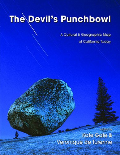
| 10. The Devil's Punchbowl: A Cultural & Geographic Map of California Today | |
 | Paperback: 208
Pages
(2010-08-15)
list price: US$25.95 -- used & new: US$17.02 (price subject to change: see help) Asin: 1597091642 Canada | United Kingdom | Germany | France | Japan |
|
Editorial Review Product Description The Devil’s Punchbowl: A Cultural & Geographical Map of CaliforniaToday is an anthology edited by Red Hen Press’s Managing Editor, KateGale, and Los Angeles Times reporter and editor Veronique de Turenne.Essays were commissioned from writers living in California, who wereasked to reflect on an aspect of the state’s geography, natural orman-made: Alcatraz Island and its prison; Manzanar and Mt. Whitney; BigSur and Joshua Tree; Los Angeles’ oil derricks and Mountain View’sGoogle headquarters; the farms of the Central Valley and the redwoods ofthe Northern Coastland. Does Alcatraz, from its important role inNative American activist history to today’s defunct prison, retainmeaning beyond a tourist attraction? How is the expanding border fencebetween Southern California and Mexico affecting, economically andpsychologically, the individuals who live near it? California’s outsizedcultural and economic impact on both our country and the rest of theworld necessitate a continual taking stock, to prevent losing ourselvesin the state’s constant transformations. The Devil’s Punchbowl captures apivotal time in our country’s history, as some of the state’s mostrecognized, complex, and accomplished writers describe theirrelationship with California’s ever-changing geographic, economic, andpsychic landscape. | |
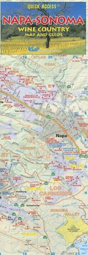
| 11. Napa-Sonoma Wine Country Map and Guide (California Wine Region Maps) by Global Graphics | |
 | Map:
Pages
(2008-08-01)
list price: US$6.95 -- used & new: US$3.07 (price subject to change: see help) Asin: 1891267574 Average Customer Review: Canada | United Kingdom | Germany | France | Japan |
|
Editorial Review Product Description "Quick Access Napa-Sonoma" features a detailed listing of wineries and vineyards in Napa and Sonoma Counties, including name, address, phone, tastings and public or by appointment only tours. It also lists area tasting rooms and gourmet groceries. The map's simple accordion fold makes it easy-to-use, even when opened to its full size of 12 x 26 inches. And one doesn’t have to be the rough and tumble itinerant to appreciate that it’s laminated. "The success of our recent 'California Wine Map' told us that people not only appreciate California's wine country, but also appreciate an accurate, well-made, user-friendly map," said H. Hesse, a mapmaker since 1967 and founder of Global Graphics. "The number one request we received was for a map focusing specifically on Napa-Sonoma and we were delighted to once again combine our passion for cartography with our appreciation of this beautiful area." The California Wine Map became a quick favorite among the states professional wine country day-trippers. Charles E. Olken, wine writer for the Los Angeles Times called it "One of the best and least expensive guides on the market," and American Airlines American Way magazine declared it a "must have." Anthony Dias Blue on KFWB-FM (Los Angeles) said, "If you travel in search of wine, you're going to love the California Wine Map. This isn't just one of those slick brochures published by the local wine-country tourist board. It's a full-fledged, state-of-the-art, satellite-generated map of California made by a well-known cartography company called Global Graphics." The California Wine Map was also highly recommended by The New York Times, Minneapolis Star Tribune, Oakland Tribune, Milwaukee Journal Sentinel and Wine & Spirits Magazine. Global Graphics maps feature full color thematic cartography, based on satellite photography and global information systems, and use data from several sources to ensure information is up-to-date and complete. Global Graphics maps are among the most accurate and user-friendly on the market. Customer Reviews (6)
| |
| 12. Geographical Memoir upon Upper California, an Illustration of His Map of Oregon and California by John Charles Fremont | |
| Hardcover: 77
Pages
(1995-06)
list price: US$14.95 Isbn: 0877705461 Canada | United Kingdom | Germany | France | Japan | |
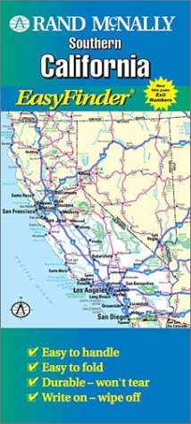
| 13. Rand McNally California-Southern Easyfinder Map | |
 | Map:
Pages
(2000-01)
list price: US$6.95 -- used & new: US$5.99 (price subject to change: see help) Asin: 0528985094 Canada | United Kingdom | Germany | France | Japan |
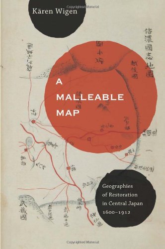
| 14. A Malleable Map: Geographies of Restoration in Central Japan, 1600-1912 (Asia: Local Studies / Global Themes) by Kären Wigen | |
 | Hardcover: 340
Pages
(2010-05-27)
list price: US$39.95 -- used & new: US$29.95 (price subject to change: see help) Asin: 0520259181 Canada | United Kingdom | Germany | France | Japan |
|
Editorial Review Product Description | |
| 15. Benchmark California Road & Recreation Atlas (Benchmark Map: California Road & Recreation Atlas) by Benchmark Maps | |
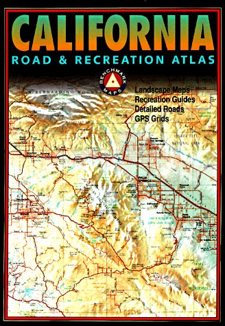 | Mass Market Paperback: 127
Pages
(2000)
list price: US$24.95 Isbn: 0929591437 Average Customer Review: Canada | United Kingdom | Germany | France | Japan |
|
Editorial Review Product Description Customer Reviews (4)
The most distinctive feature, though, is the topography. Color is keyed to altitude, and shading is also used to give a clearpicture of the land's contours.Combined, they give a very detailed imageof how the land will be shaped when you get where you're going. For thoseinterested in adventuring on California's back roads, the obviouscomparison is with DeLorme's Southern California Atlas & Gazetteer, andits Northern California companion.I've used the DeLorme books for years,and have the following comments comparing the Benchmark atlas withthem: Pro: better ergonomics. The text fonts, road lines etc. are clearerin the Benchmark atlas.The "look and feel" makes it more of apleasure to work with. Pro: more discernable land contours (the newedition of the DeLorme books add some shading to help in the interpretationof the oft-confusing contour lines, which helps a lot, but it's still notas sharp as the Benchmark book.Note that I've seen this new contourshading in the Southern CA book, and haven't seen a new Northern CA bookyet) Pro: Seems to be more up-to-date (e.g. the Recreation Pages show alot of the recent changes to the desert parks.The Benchmark book shows anew bypass through Barstow that isn't in the new DeLorme edition (confusedthe heck out of my group once)) Pro: All of California in onebook! Con: Not as detailed.There's a reason they can fit it all in onebook: it's at twice the scale of the DeLorme's (1:300,000 instead of1:150,000).Some small features, such as mine sites, aren't in theBenchmark book.I examined various regions I've visited, and most of thesame dirt roads are in Benchmark book, but not as many of them are labeled. (In fairness, there's a corresponding "Pro", in that twice asmuch area is covered on a page, so there's less flipping around) Con:Many park & base boundaries are not shown on the detailed maps.Whilethe borders of some national parks are shown on the detailed maps, many ofthem only have a label in the middle, and you must turn to theless-detailed Recreation Maps section to get a sense of their borders. This can be frustrating when you're planning a drive in the region of anoff-limits area like China Lake Naval Weapons Center.This shortcoming isthe main reason I don't give it five stars -- I hope they correct it infuture editions. Con: No indication of land surface.The Benchmark bookuses color exclusively for elevation; the forested Sierras look just likethe mountains around Death Valley. DeLorme uses color to show levels ofvegetation, etc.So, you can look at Desolation Wilderness near LakeTahoe, and get a sense of which parts are forested and which are opengranite. So, which is better?I'd say it depends on what you want to do. If you mostly stick to the paved roads, and/or tend to supplement youratlas with more detailed maps (park service, forest service, USGS topos,etc.), and want something that gives a better sense of "the bigpicture" of what the land is doing, you might be happier with theBenchmark book.For a driving tour at highway speed, the detail of theDeLorme book is probably excessive -- you'll be flipping a lot ofpages. On the other hand, if you really want to get out on the dirttrails and find your own site in the backcountry, you'll appreciate theDeLorme's greater detail. Personally, I like having as many differentmaps available as possible, so I'd say "Get Both".Inparticular, if you have an older edition of the DeLorme book, and arethinking about upgrading to the newer edition with contour shading, youmight want to consider keeping your old one, and getting the Benchmark bookinstead. ... Read more | |
| 16. Thomas Guide California Road Atlas: Including Portions of Nevada : Spiral by Thomas Brothers Maps, Rand McNally | |
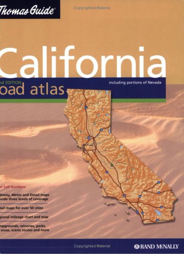 | Spiral-bound:
Pages
(2004-03)
list price: US$24.95 -- used & new: US$62.76 (price subject to change: see help) Asin: 0528995715 Average Customer Review: Canada | United Kingdom | Germany | France | Japan |
Customer Reviews (3)
| |
| 17. Thomas Guide 2006 Alameda & Contra Costa Counties, California: Street Guide (Alameda and Contra Costa Counties Street Guide and Directory) | |
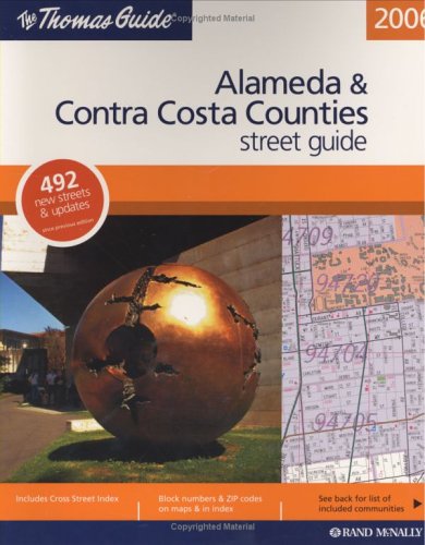 | Paperback: 745
Pages
(2005-09-15)
list price: US$29.95 -- used & new: US$63.92 (price subject to change: see help) Asin: 052885531X Canada | United Kingdom | Germany | France | Japan |
| 18. Advanced Geography, California State Series by Compiled Under Direction Of State Board Of Education | |
| Hardcover:
Pages
(1893-01-01)
Asin: B003X678WG Canada | United Kingdom | Germany | France | Japan | |
| 19. California Patterns: A Geographical and Historical Atlas by David Hornbeck | |
| Paperback: 112
Pages
(1983-03)
list price: US$33.05 -- used & new: US$39.86 (price subject to change: see help) Asin: 0874845831 Average Customer Review: Canada | United Kingdom | Germany | France | Japan | |
Customer Reviews (1)
| |
| 20. Antiquated Subdivisions Ruled Invalid By Appellate Court.(Brief Article): An article from: California Planning & Development Report | |
| Digital: 4
Pages
(2001-11-01)
list price: US$5.95 -- used & new: US$5.95 (price subject to change: see help) Asin: B0008IFWT8 Canada | United Kingdom | Germany | France | Japan | |
|
Editorial Review Product Description | |
| 1-20 of 92 | Next 20 |