|
|
Help |
| Home - Basic E - Equatorial Guinea Geography (Books) | |
e99 Online Shopping Mall
|
|
Help |
| Home - Basic E - Equatorial Guinea Geography (Books) | |
| 1-5 of 5 |
click price to see details click image to enlarge click link to go to the store
|
| 1. Equatorial Guinea Geography Introduction: Malabo, Spanish Guinea, List of Cities in Equatorial Guinea, San Antonio de Palé, Luba | |
 | Paperback: 104
Pages
(2010-09-15)
list price: US$19.99 -- used & new: US$19.99 (price subject to change: see help) Asin: 1155446879 Canada | United Kingdom | Germany | France | Japan |
|
Editorial Review Product Description | |
| 2. Geography of Equatorial Guinea: Central African Mangroves, List of Islands of Equatorial Guinea, Río Muni | |
 | Paperback: 22
Pages
(2010-09-15)
list price: US$14.14 -- used & new: US$12.73 (price subject to change: see help) Asin: 1157099696 Canada | United Kingdom | Germany | France | Japan |
|
Editorial Review Product Description | |
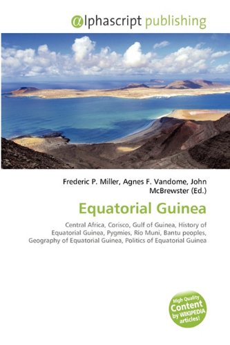
| 3. Equatorial Guinea | |
 | Paperback: 88
Pages
(2010-07-29)
list price: US$44.00 -- used & new: US$41.43 (price subject to change: see help) Asin: 6130202032 Canada | United Kingdom | Germany | France | Japan |
|
Editorial Review Product Description | |
| 4. The ecology of malnutrition in Eastern Africa and four countries of Western Africa;: Equatorial Guinea, the Gambia, Liberia, Sierra Leone, Malawi, Rhodesia, ... (His Studies in medical geography, v. 9) by Jacques M May | |
| Hardcover: 675
Pages
(1970)
Asin: B0006CKF34 Canada | United Kingdom | Germany | France | Japan | |
| 5. Barbot on Guinea: The Writings of Jean Barbot on West Africa, 1678-1712 Vol 1 & 2 by Jean Barbot | |
| Hardcover: 1112
Pages
(1999-01-31)
-- used & new: US$73.20 (price subject to change: see help) Asin: 0904180344 Canada | United Kingdom | Germany | France | Japan | |
| 1-5 of 5 |